
From Baguio, our next destination was Cabanatuan. The regular route was to head on down to Pangasinan via Kennon Road or Marcos Highway, turn left in Rosales and pass by the towns of Cuyapo, Guimba and Talavera. Travel time was about 3 hours when we took this route a couple of years back.
But due to our wanderlust, we wanted to take a different route this time and my boss had been reading and talking about this other road. And so we excitedly took the Baguio-Aritao Road which is a more circuitous route.
We started our journey at 10:20 am when we left the hotel in Baguio, headed down to Pacdal Circle, and turned on Ambuklao Road.


After about an hour, we saw the Ambuklao Dam. We stopped for a short break and took some shots.

The Ambuklao Dam spillway

The Ambuklao Dam
We proceeded on and passed by a fork on the road: the left one leading to Bocod (which leads to the Halsema Highway going to Banawe and Sagada) and the Mt. Pulag National Park (jump off point for mountaineers) and the right road leading to Kayapa. We took the higher road on the right and continued on.
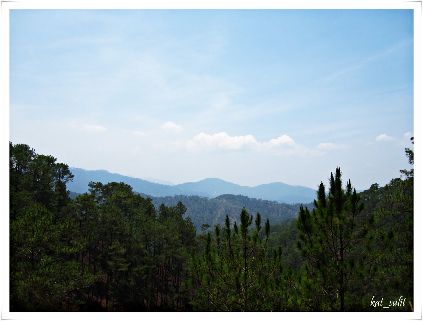
After about 30 minutes, we stopped to check our bearings and got out of the car. As soon as I stepped out, I noticed the scent of pine. It was so surreal.

Forty-five minutes later, we reached the town of Kayapa, the first town of Nueva Vizcaya (coming from Baguio). But the road trip was far from over and we trudged on more winding roads.


After one more hour, we reached the Maharlika Highway and turned right on the junction. Total travel time for the 104-kilometer highway was three hours and fifteen minutes.

From this point on, we had to crawl several times along the National Highway due to the many road menaces called tricycles. We traversed through the towns of Aritao and Sta. Fe. By this time, it was already close to 2:00 pm so we decided to stop to take our lunch on a roadside eatery.


Then we continued on. We climbed up the winding road that is the Dalton Pass.


going up the Dalton Pass
Many portions of the road were not good. Buses expertly navigated this zigzag road while trucks with extremely heavy loads crawled.
Upon reaching the top, I was on the look out for the Dalton Pass marker. After a few more meters, this marker came into sight.

Road marker separating the provinces of Nueva Vizcaya and Nueva Ecija

view from the top of Dalton Pass

going down the Dalton Pass
Several minutes later, we reached flat plains and saw vast rice fields. Nueva Ecija, after all, is known to be the "rice granary" of the Philippines. We continued on and passed by the towns of San Jose, Munoz and Talavera.
It was past 5:00 pm when we finally reached Cabanatuan City.

sunset on Barangay Arcadia in Cabanatuan City
The view of the sunset was a befitting conclusion to our road trip. Though the travel time was longer, I must say that it was worth it because the journey was, indeed, very rewarding for the senses.
1 comment:
hi kathy,
how do i contact you about your photos?would like to ask permission to use some of them for a project.
you may email me at laicamarie@gmail.com
thank you.
Post a Comment